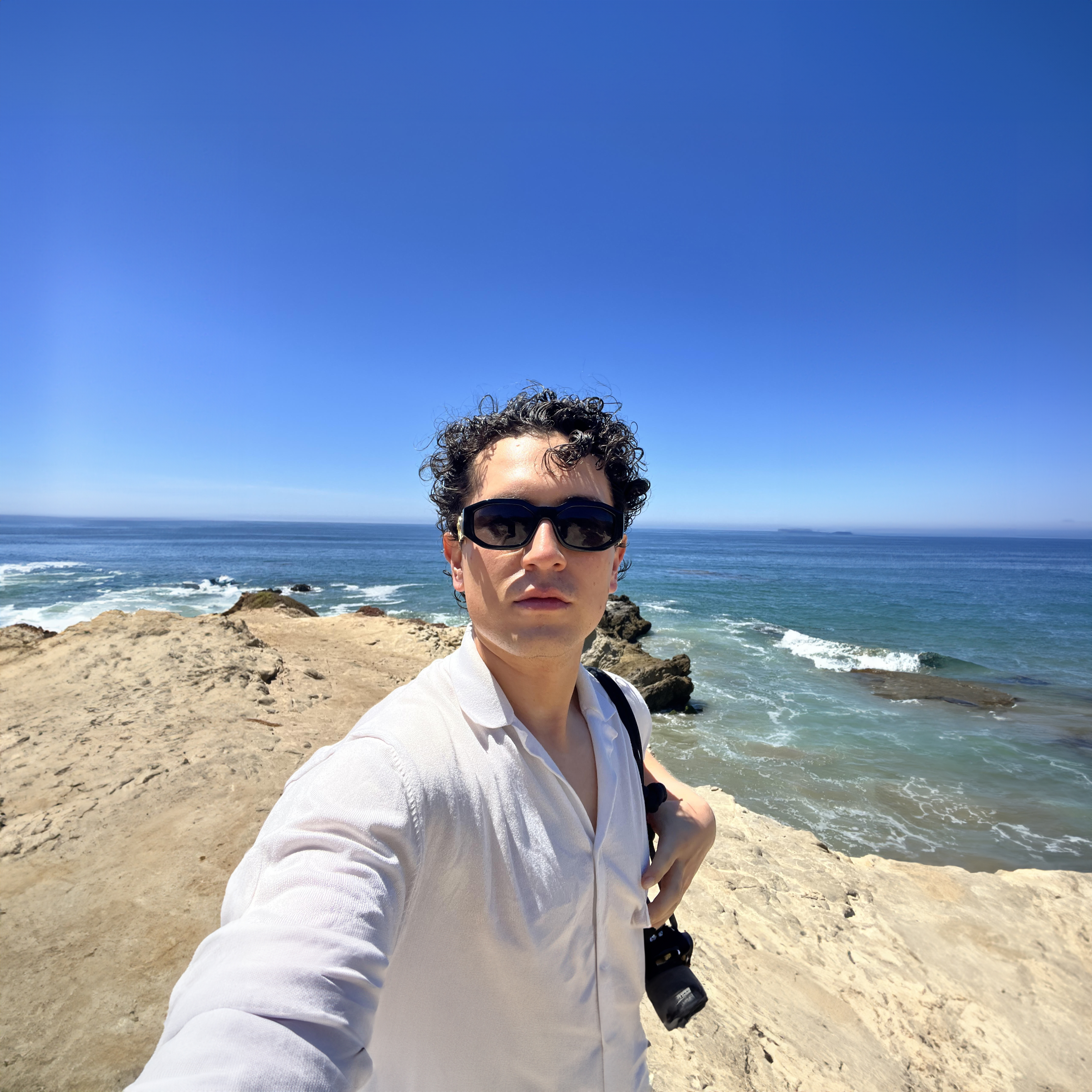
GIS Analyst · Cartographer · Architect
Juan
Sebastian
Cortes
M.S. Geographic Information Science & Technology
University of Southern California · Expected Dec 2026
I'm a Colombian GIS analyst, cartographer, and architect based in Denver, CO. I use maps, spatial analysis, and interactive web tools to understand the places and systems that shape our lives — from wildfire-damaged water infrastructure in California to vanishing páramo ecosystems in the Colombian Andes.
My Story
My background in architecture shaped how I think about space, infrastructure, and people. After working on Bogotá's first metro line and contributing to water sustainability research, I moved into GIS to bring together design, data, and environmental analysis in a more direct way.
At USC's Spatial Sciences Institute, I've built Python tools for infrastructure risk modeling, created interactive biodiversity maps, simulated wildfire spread with agent-based models, and explored environmental inequality through spatial analysis. My work connects data science, cartography, and environmental storytelling.
Awards & Recognition
Outstanding Paper by a Master's Student
ArcGIS StoryMaps Competition
Education
-
University of Southern CaliforniaM.S. Geographic Information Science and Technology · Spatial Sciences InstituteLos Angeles, CA
Expected Dec 2026 -
Universidad de los AndesBachelor of Architecture and DesignBogotá, Colombia
April 2020
Experience
-
Summer 2025GIS InternLas Flores Water Company · Altadena, CALed post-fire field data collection and built a FEMA-ready report to fund water-meter repairs after the 2025 Altadena (Eaton) Fire, using ArcGIS Survey123 and ArcGIS StoryMaps.
-
Aug–Dec 2025Teaching Assistant, Human Populations and Natural HazardsUniversity of Southern California · Los Angeles, CASupported instruction and applied GIS learning for an undergraduate course on hazard exposure, vulnerability, and environmental risk, covering floods, wildfires, earthquakes, and sea-level rise.
-
Feb 2021–Nov 2022Design ArchitectWSP, Bogotá Metro Line 1 · Bogotá, ColombiaCreated architectural designs for four stations along Bogotá's first metro line, working in multidisciplinary teams and applying GIS for spatial decisions in station placement and infrastructure planning.
-
Jul–Dec 2019Research AssistantUniversidad de los Andes · Bogotá, ColombiaContributed to water management studies for Bogotá's river systems, applying GIS and demographic data to support environmental assessment and sustainable urban planning research.
Skills & Tools
GIS & Spatial Analysis
Programming & Data
Design & Visualization
Outside the Lab